High Pressure Ridge Brings Unseasonable Warmth to Southern Colorado
Temperatures are forecast to climb eight to 10 degrees above seasonal norms by Sunday, with dry conditions persisting through the weekend.
By Madison Darwish ·
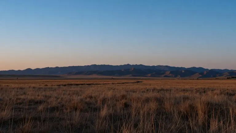
A high pressure ridge is moving into southern Colorado, triggering a stretch of mild and dry weather that will push temperatures well above seasonal averages. The pattern begins on Thursday night and extends through the following week. Forecasts indicate that Sunday will be eight to 10 degrees warmer than typical for the region.
The warming trend started with Thursday night lows. Most areas saw temperatures drop into the 30s, accompanied by light breezes and increasing cloud cover. Colorado Springs recorded a low of 32 degrees and a high of 54 degrees. Pueblo followed a similar trajectory, with a low of 34 degrees and a high of 58 degrees. Canon City ended the day with a low of 38 degrees and a high of 56 degrees, while Woodland Park saw a low of 27 degrees and a high of 47 degrees.
As the week progresses, the weather pattern remains consistent across the region. Friday brings mid 40s to mid 50s temperatures for most communities. Woodland Park and mountainous areas face a slight chance of loose afternoon showers on Friday, though these are expected to be quick moving. The mountains generally hover between 28 and 42 degrees during this period. By the weekend, the sky clears, and sunshine becomes abundant.
The warmest day of the upcoming period is set for Monday. Most locations are projected to reach the upper 50s and 60s. This peak warmth coincides with the full establishment of the high pressure ridge. Wind speeds remain low, keeping the atmosphere quiet and stable. The dry conditions persist throughout the weekend and into early next week.
The extended outlook confirms that temperatures will stay at or above seasonal averages for the entire duration of the event. The shift from the cooler Thursday lows to the warm Sunday highs marks a distinct change in the local climate pattern. Residents in the Pikes Peak region and the San Luis Valley can expect this dry, sunny stretch to continue through Monday.
No significant storm systems are expected to disrupt the pattern in the immediate future. The weather service maintains that the high pressure system will hold its position, ensuring a quiet meteorological period. This stability allows for a clear view of the temperature trends without the interference of passing fronts or heavy precipitation.