
Philadelphia region breaks temperature records before weekend rain
Residents should expect highs near 70 degrees Friday, with a developing coastal system threatening rain and wind by Sunday.
By Alina Marshall ·
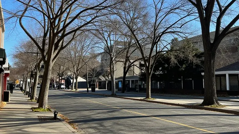
Commuters in the Philadelphia region faced chilly Wednesday mornings, but the cold snapped back quickly under bright sun. By lunchtime, layers became unnecessary. The clear skies and light winds made for a dry day, ideal for cleaning up fallen leaves or setting up holiday decorations.
The warming trend continues through the weekend. Highs will reach 65 degrees Wednesday and 67 degrees Thursday. Friday marks the peak of the heat, with some communities hitting 70 degrees. That places temperatures 10 to 15 degrees above the typical mid-November average. Saturday stays mild at 68 degrees, but the weather shifts as a low-pressure system approaches.
Forecasters say a potential coastal storm could bring rain from Sunday into early Monday. The exact path of the storm remains uncertain. Some models show the system staying far offshore, while others track it close to the coast. If it moves closer, the Jersey Shore could see stronger winds and rougher surf. Temperatures will drop behind the system, falling to 59 degrees Monday and 50 degrees Tuesday.
The uncertainty in the storm's track means residents should monitor updates as the weekend nears. The immediate forecast remains stable, with dry conditions holding until the new system arrives. The shift from unusually warm days to cooler, wetter weather happens over a short span, leaving little time for the region to adjust.