Omaha Faces 60 mph Gusts and Unseasonable 70s Amid November Storms
Forecasters predict muggy conditions and potential tornadoes in the Omaha area on November 2, 2026.
By Alina Marshall ·
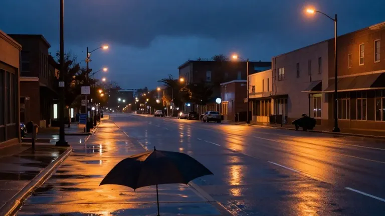
Wind gusts exceeding 60 miles per hour are possible in the Omaha area on November 2, 2026, according to local forecasters. The high winds are expected to accompany new storm development occurring after 5 p.m. Meteorologists identified strong wind gusts as the primary hazard for the evening.
Temperatures are set to surge into the 70s during the day, creating unseasonably warm and muggy conditions. South winds will drive gusts up to 45 miles per hour for many residents. Dew points will remain in a range that makes the air feel humid and sticky despite the November calendar date.
Rain chances are highest during the morning and evening hours. While some sunshine will appear this afternoon, it will be intermittent. Evening storms may intensify, bringing a brief chance for one or two tornadoes. Residents are advised to monitor conditions as these systems develop.
The weather pattern shifts as more showers move through overnight. These overnight and early Tuesday morning showers are expected to be weaker than their predecessors. Wind gusts will relax as the system continues to move through the region while people sleep.
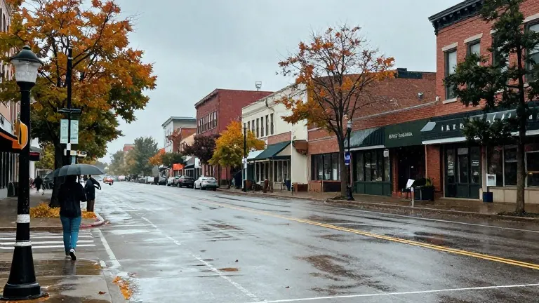
A north wind will take over on Tuesday, causing temperatures to drop sharply. The official high for Tuesday is projected to be about 64 degrees. Temperatures will begin in the upper 50s in the morning and fall to the lower 50s by the end of the day. Rain chances will shift from morning into early afternoon before sliding east into the evening.
Wednesday will remain cloudy and chilly with high temperatures in the lower 50s. North wind gusts are likely to reach 30 miles per hour. Showers will be less frequent than the previous day, though some spotty lingering precipitation is possible, particularly in the northeast. Some areas may accumulate more than one inch of total rain over the next three days.
Clouds are expected to decrease on Thursday before returning on Friday. Another storm system will pass through over the weekend, bringing wind to the region. No clear freeze is currently in the forecast for the week. A couple of nights in the 30s are predicted, with some frost potential over the next 10 days.
Source: WOWT