Storm Front: Southern Colorado Weekend Forecast
A shift from dry westerly flow to a deepening Pacific trough will bring heavy mountain snow and a low risk of flooding to the region starting Friday.
By Alina Marshall ·
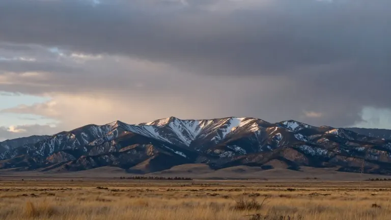
Southern Colorado faces a sharp pivot from calm, dry conditions to a wet and cold system by the weekend. The current quiet stretch, driven by a dry westerly flow, will give way to a surge of moisture and cooler temperatures.
Thursday remains mild and largely dry. Pueblo is expected to reach 65 degrees with a low of 39, while Colorado Springs will see a high of 64 and a low of 38. Canon City is forecast to hit 68, and Woodland Park will stay cooler at 58. Isolated showers are possible near the far southeast border by afternoon, but dry conditions should hold through the end of the workweek.
The weather pattern changes on Friday as a deepening Pacific trough pushes moisture into western Colorado. A weak disturbance passing to the south will bring a chance of showers to the far southeast plains and light precipitation to the mountains.
Saturday brings increasing southwest flow, pulling moist Pacific air across the region. Showers are expected to build through the day over the high mountains, while lower elevations remain mostly mild. Overnight lows will drop into the 20s in high mountain valleys and the 30s to lower 40s across the plains.
The most significant impact arrives from Sunday through Tuesday. An upper-level trough strengthening over the Four Corners will drive heavy snow and rain to the Continental Divide and the San Luis Valley. Snowfall is expected to increase on Monday, with a wintry mix potentially spreading into mountain valleys and adjacent plains as temperatures fall.
Forecasters have noted additional flooding potential in the San Luis Valley due to the incoming moisture. However, the current outlook assesses the overall flooding threat as low for this system. Windy conditions are expected on the back side of the weather system as it moves through.
Source: KOAA News5