Omaha faces wind-driven rain on Election Day after evening storms
Thunderstorms are expected to hit the metro area by 8:00 p.m. Monday, bringing gusts to 40 mph and falling temperatures for Tuesday's voters.
By Emmanuel Faure ·
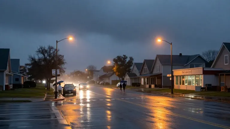
Thunderstorms are set to reach the Omaha metro area as early as 8:00 p.m. Monday, bringing strong winds and rain to the region. The weather system is currently producing scattered storms around Norfolk and Columbus, with conditions remaining warm and humid west of the city. While no watches or warnings were in effect as of 3:30 p.m. Monday, forecasters indicate that storms could intensify through the evening, posing a risk of strong winds and a brief tornado.
Meteorologists note that the ingredients for strong or long-lived tornadoes are not present. The combination of strong south winds and shallow wind shear is expected to dissipate any rotation quickly. However, a few tornado warnings may still be issued. The primary concern remains severe wind gusts. Background winds are already reaching 30 to 40 mph, meaning that thunderstorms have a low threshold for generating damaging gusts.
As the system moves through the evening, severe weather chances are lower in Omaha compared to areas to the east. Strong winds are possible with any storm that passes through the metro area by bedtime. Additional rounds of rain and embedded storms are expected overnight, but the threat for severe weather is forecast to end by midnight.
Voters heading to the polls on Tuesday will face less than ideal conditions. The forecast calls for wind-driven rain and gusts up to 40 mph. Temperatures will drop from the upper 50s in the morning to the low 50s in the afternoon. Long lines at polling places could force some citizens to wait outside in these elements.
The weather pattern continues with a lobe from the low pressure system keeping showers in the forecast from Wednesday into Thursday morning. Winds will lighten, though gusts may still reach 30 mph. Both days will be cooler, with temperatures settling into the typical November range of the low to mid 50s.
A small chance of frost exists for eastern Nebraska and western Iowa later in the week, depending on overnight cloud cover. This possibility is lower than it appeared in previous forecasts. Gardeners with late-season crops should monitor conditions closely. A brief warm-up may push highs into the low 60s on Saturday before a clipper low brings more showers later in the weekend.